 copyright: OBK
Solar cadastre
This page was translated from German using artificial intelligence. The translation may contain errors or inaccuracies. In case of doubt, the German original version prevails.
In the Oberberg Spatial Information System RIO under the RIO application Construction and Living (www.obk.de/rio-solar), information about the photovoltaic suitability of your building is available.
This map view serves as initial information but does not replace consultation with a specialized company.
Through the map views in RIO, you can retrieve information:
Photovoltaic suitability
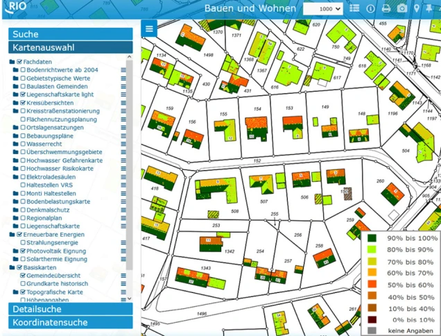
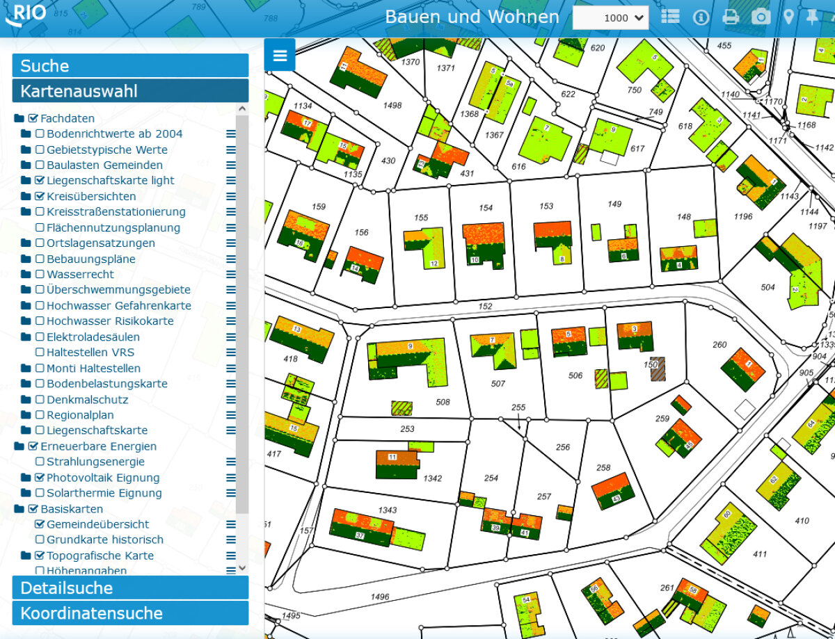
The following map on photovoltaic suitability shows, divided into eight levels, the possible suitability based on roof orientation and inclination.
Using color markings and forecast values, data can be accessed for each building.
Other influencing factors such as shading effects, topographical conditions (north slope), statics, green roofs, regulations, feasibility, etc., are not evaluated.
With a left click on the individual building, you can access more information. (Basemap: © GeoBasis-DE / BKG (2026) dl-de/by-2-0)
Directly to RIO
Solar Radiation Energy
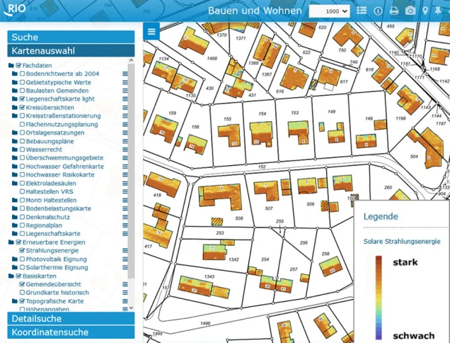
To estimate the impact of shading, the following RIO map Solar Radiation Energy provides complementary information.
The color indicates the solar radiation energy for the respective building using a color scale.
Left-click on an individual building to access more information. (Data on solar radiation energy: LANUK, Datenlizenz Deutschland Zero-2.0, Basemap: © GeoBasis-DE / BKG (2026) dl-de/by-2-0)
Yield Calculator in the Energy Atlas NRW
The analysis results of the new solar cadastre are based on an automated process and provide an initial orientation.
A specific yield calculator for the building is available in the Energy Atlas NRW under the section Solar Cadastre.
The Energy Atlas NRW not only shows the potential of suitable module areas and the possible electricity yield but also the suitability for solar thermal energy.
Contact
Solar Cadastre
Silvia PreuÃ
Contact
Renewable Energies
Jonathan Heyde
