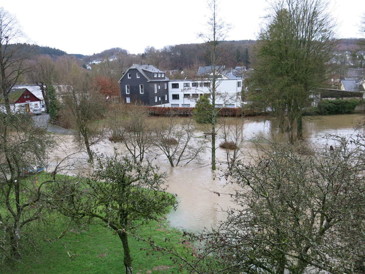
 copyright: OBK
Geoportal RIO - Heavy Rain
Heavy Rain Hazard Map, Heavy Rain Risk Map, Flood Zones, Flood Hazard Map, Flood Risk Map, and much more
This page was translated from German using artificial intelligence. The translation may contain errors or inaccuracies. In case of doubt, the German original version prevails.
The application is a specialized, interactive mapping portal for climate protection and flood prevention, providing detailed hazard maps for flood risks. The platform enables users to view property hazards due to maximum water levels as well as climatic factors such as heat risk.
News
29.05.2026:
The topic ABK light (Official Base Map light) is now located in the topic folder Cadastral Register.
01.05.2026
The topics Heat Hazard Map, Cold Air Volume Flow, Cold Air Generation Areas as well as the Administrative Boundaries are now available in the topic folder Climate Change Adaptation .
29.01.2026
The topic WMS Renewable Energies NRW is now available in the topic folder Renewable Energies .
Maintenance Work
Currently, no maintenance work is planned.
Contact
Information
Fritz-Kotz-Straße 17 a
51674 Wiehl
IT Service
Fritz-Kotz-Straße 17 a
51674 Wiehl