 copyright: Datenlizenz Deutschland -Zero - Version 2.0 (https://www.govdata.de/dl-de/zero-2-0)
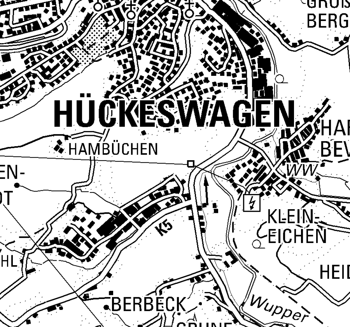
Geoportal RIO - Topographic Maps
City maps, topographic maps, official base map, contour lines, historical German base map, and much more
This page was translated from German using artificial intelligence. The translation may contain errors or inaccuracies. In case of doubt, the German original version prevails.
The application is a mapping portal that displays official geospatial base data. The tool provides access to Digital Topographic Maps (DTK), the Official Base Map (ABK), aerial imagery, as well as functions for detailed search and printing.
Maintenance Work
Currently, no maintenance work is planned.
Contact
Information
Fritz-Kotz-Straße 17 a
51674 Wiehl
IT Service
Fritz-Kotz-Straße 17 a
51674 Wiehl
