Cadastral surveying

Automatic Translation

This page was translated from German using artificial intelligence. The translation may contain errors or inaccuracies. In case of doubt, the German original version prevails.
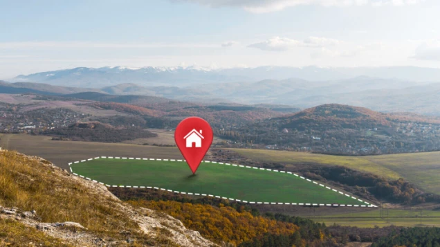
Weitläufige Landschaft mit Hügeln, Bäumen und Wiesen. Ein Grundstück ist mit gestrichelten Linien markiert, darauf ein roter Standort-Pin mit Haus-Symbol.

Property surveying includes all surveys related to a piece of land, such as determining boundaries, creating new parcels, or updating the cadastre. It is the umbrella term for surveys that clearly document the location and size of a property.

What should be considered in the application process?

Contact the cadastral office or a publicly appointed surveyor (ÖbVI), who will process the application and conduct the survey.

A survey can be requested by any property owner - or with their consent, by anyone else - personally or in writing (informally), also via email, as long as they commit to bearing the costs.y<

What should you bring?

District, corridor, and parcel number,
or street, house number, and city,
or a map
...

You may need to identify yourself.

What costs are involved?

The costs are determined by the "Fee Schedule for Official Surveying and Official Property Valuation in North Rhine-Westphalia" (Surveying and Valuation Fee Schedule - VermWertKostO NRW)

Contact

Cadastral surveys