Road closure survey

Automatic Translation

This page was translated from German using artificial intelligence. The translation may contain errors or inaccuracies. In case of doubt, the German original version prevails.
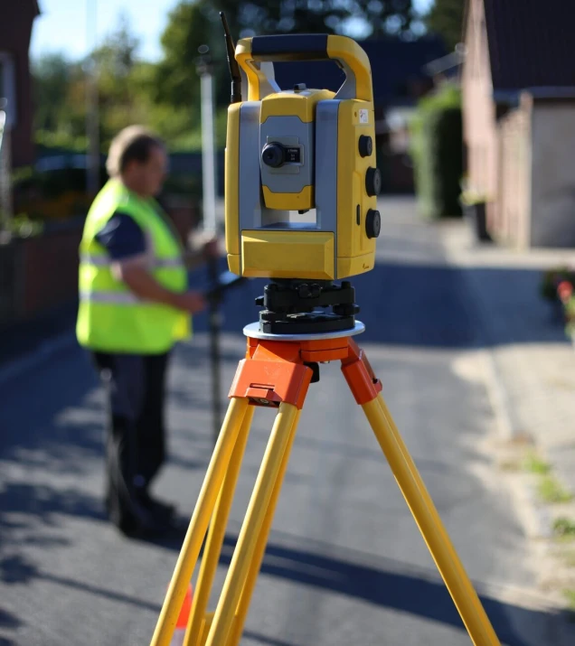
Eine gelb-graue Vermessungsstation auf einem gelben Stativ mit orangenen Elementen steht auf einer Straße. Im Hintergrund eine Person in gelber Warnweste unscharf sichtbar.

A final road survey is a survey conducted when a new road is completed. In this process, the final road areas, slopes, sidewalks, and adjacent property boundaries are precisely measured and entered into the official cadastral register.

Who applies for the road closure survey?

The municipality, the state, or the federal government – initiates the survey. They are responsible for planning, construction, and subsequent surveying of the road.

What does this mean for property owners?

- The new or altered boundaries are automatically documented in a legally secure manner.
- Owners of adjacent properties are informed if necessary, for example, if boundary points are affected or if areas need to be bought or sold.

What costs arise?

The costs for the road closure survey are determined according to the "Fee Schedule for Official Surveying and Official Property Valuation in North Rhine-Westphalia" (Surveying and Valuation Fee Schedule - VermWertKostO NRW). They consist of:
- a basic effort flat rate
- a fee for each newly created parcel of land
The fee for the newly created parcels depends on their size and their standard land value. The largest newly formed parcel per old parcel is exempt from fees.
- the costs for the transfer into the Official Land Registry Information System (ALKIS)

Contact

Transfer to the land registry